In case of emergency!

Concealing, hiding, and taking refuge in Maastricht
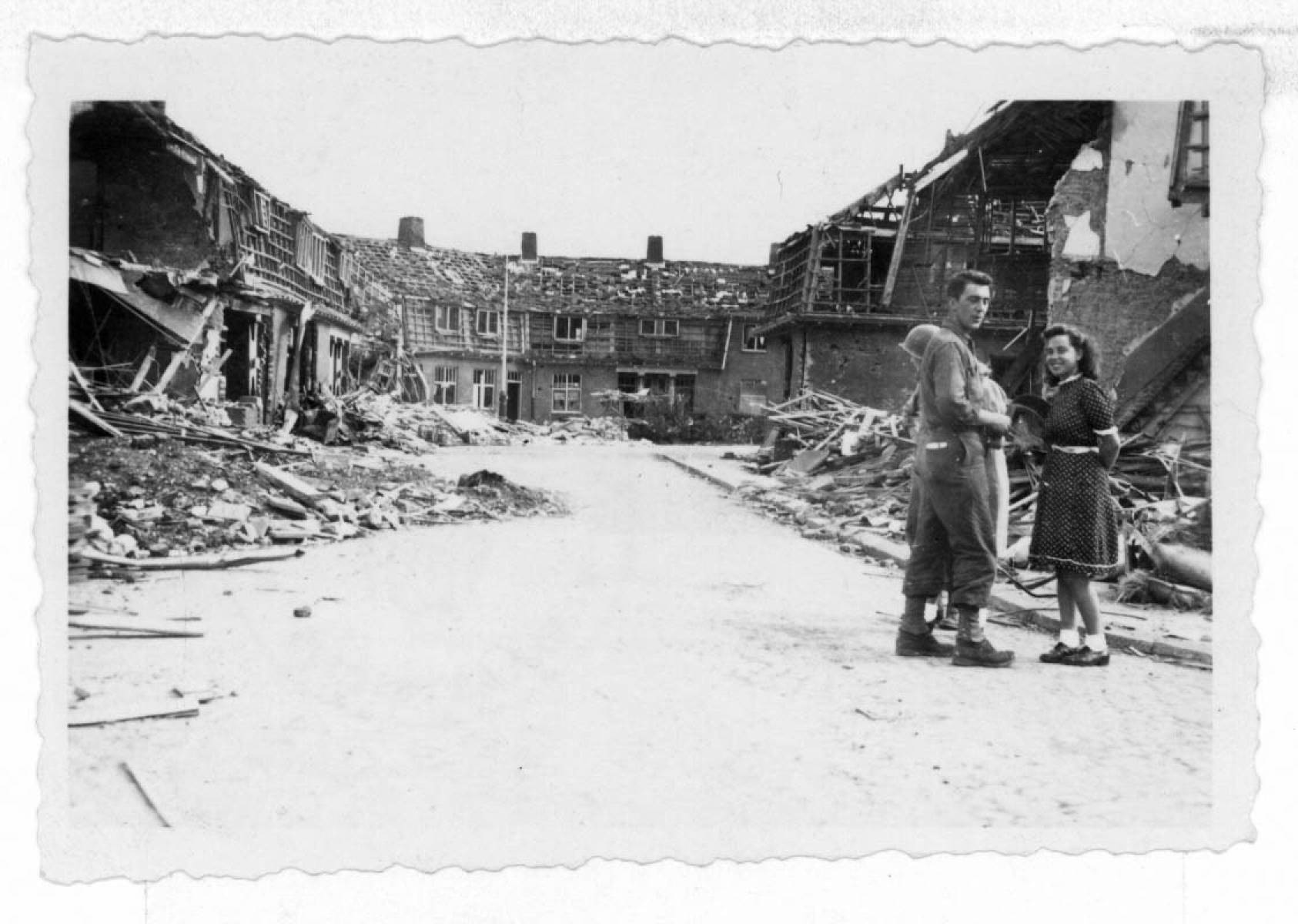
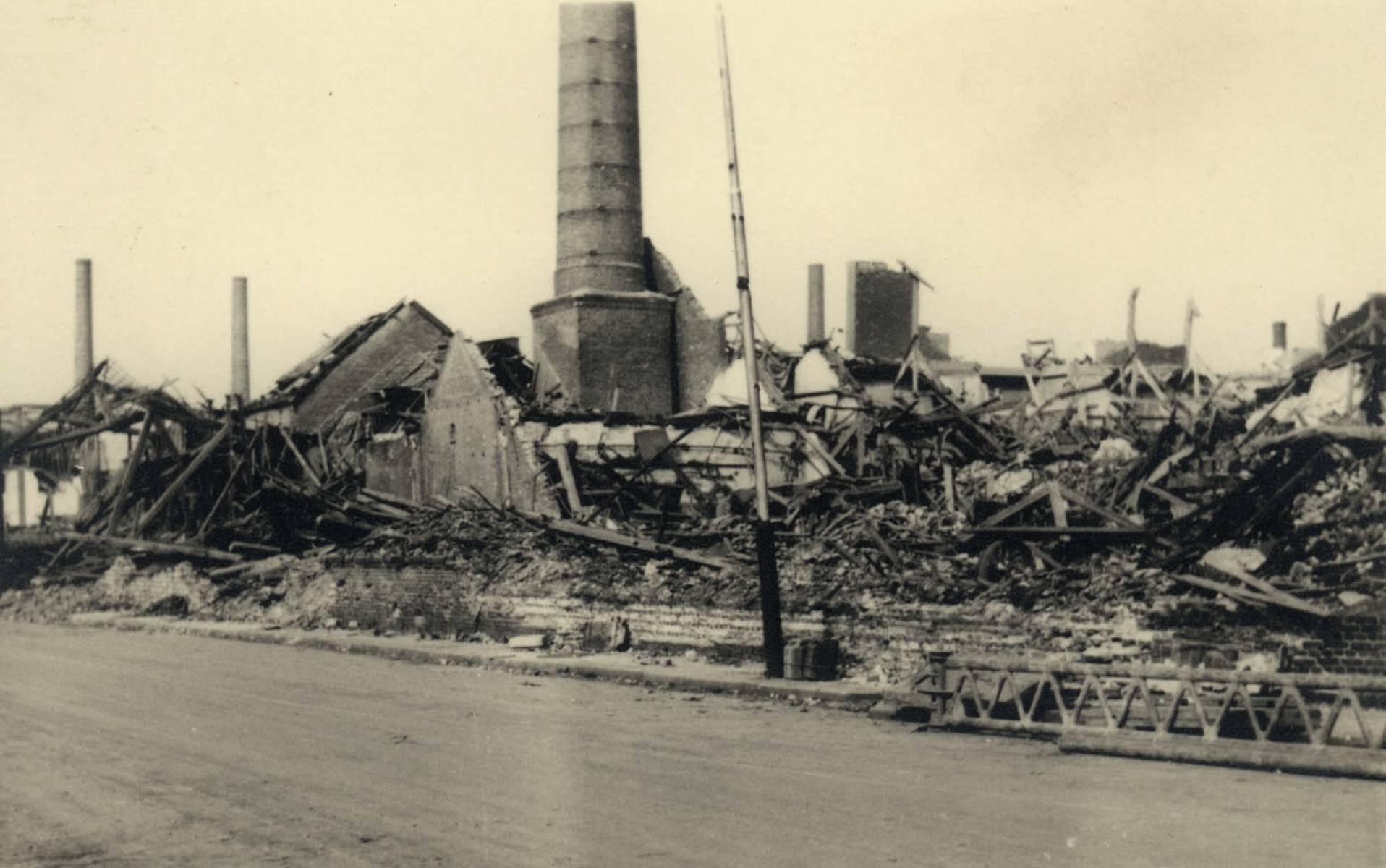
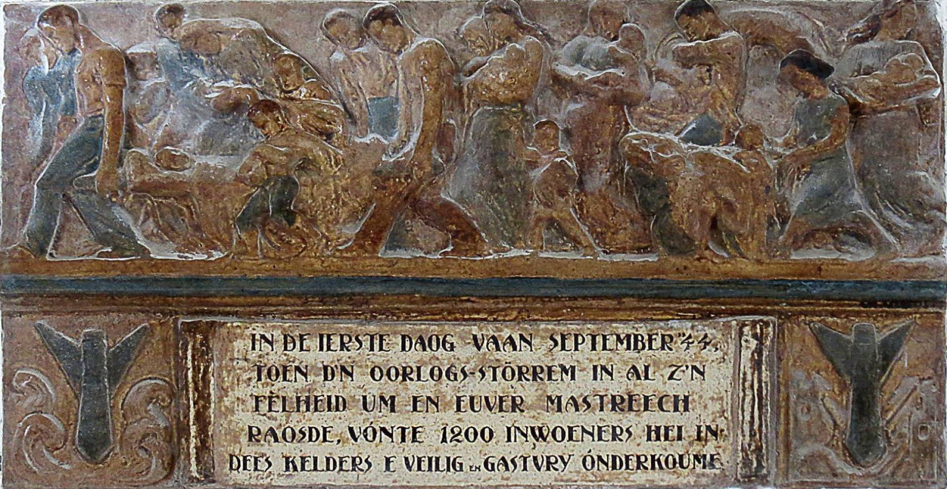
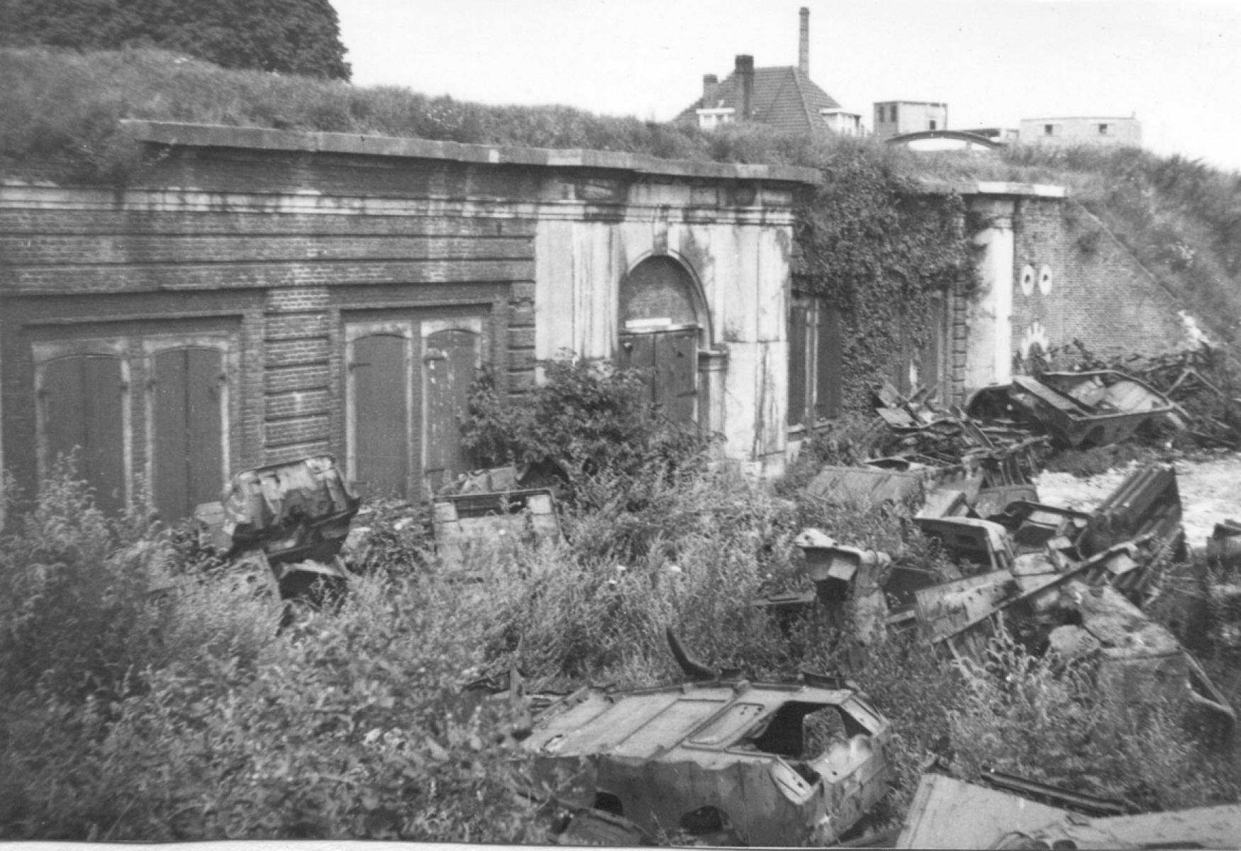
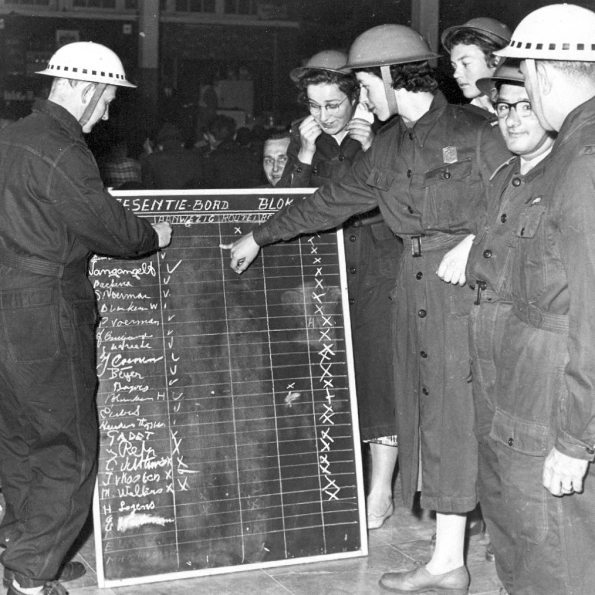
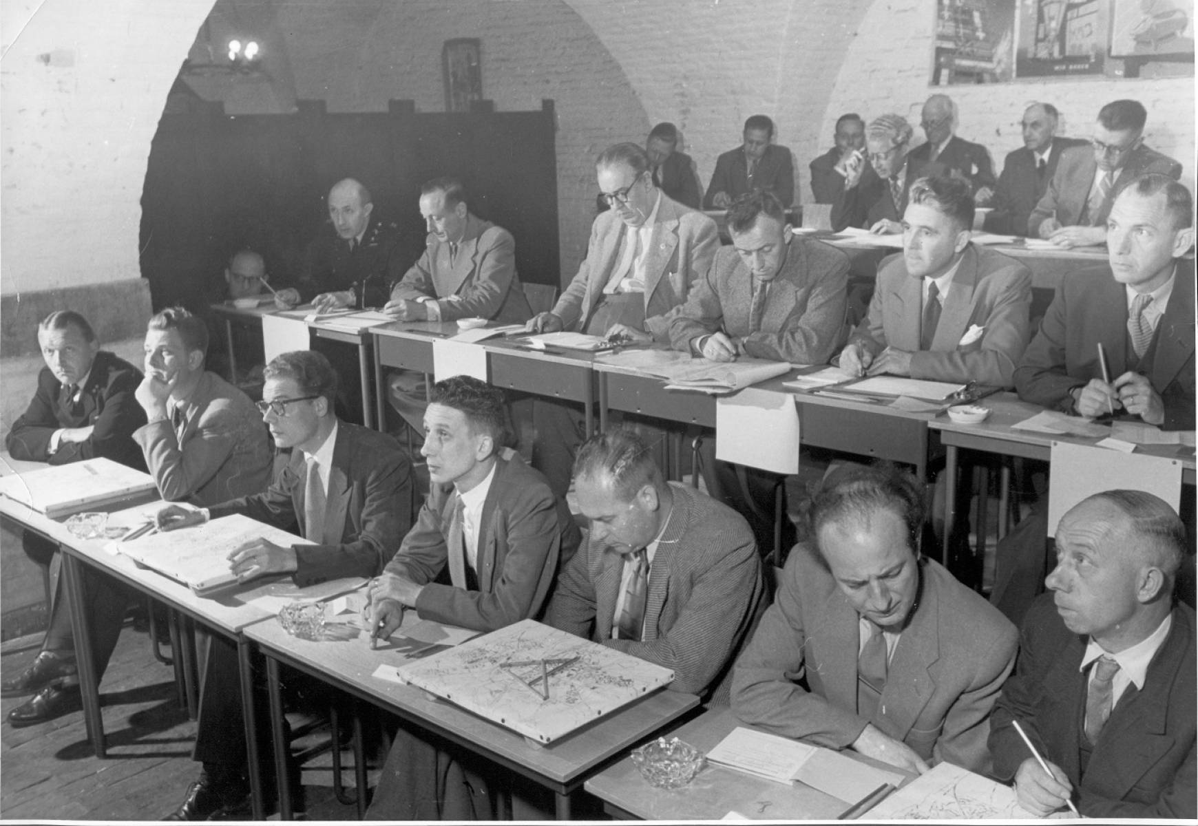
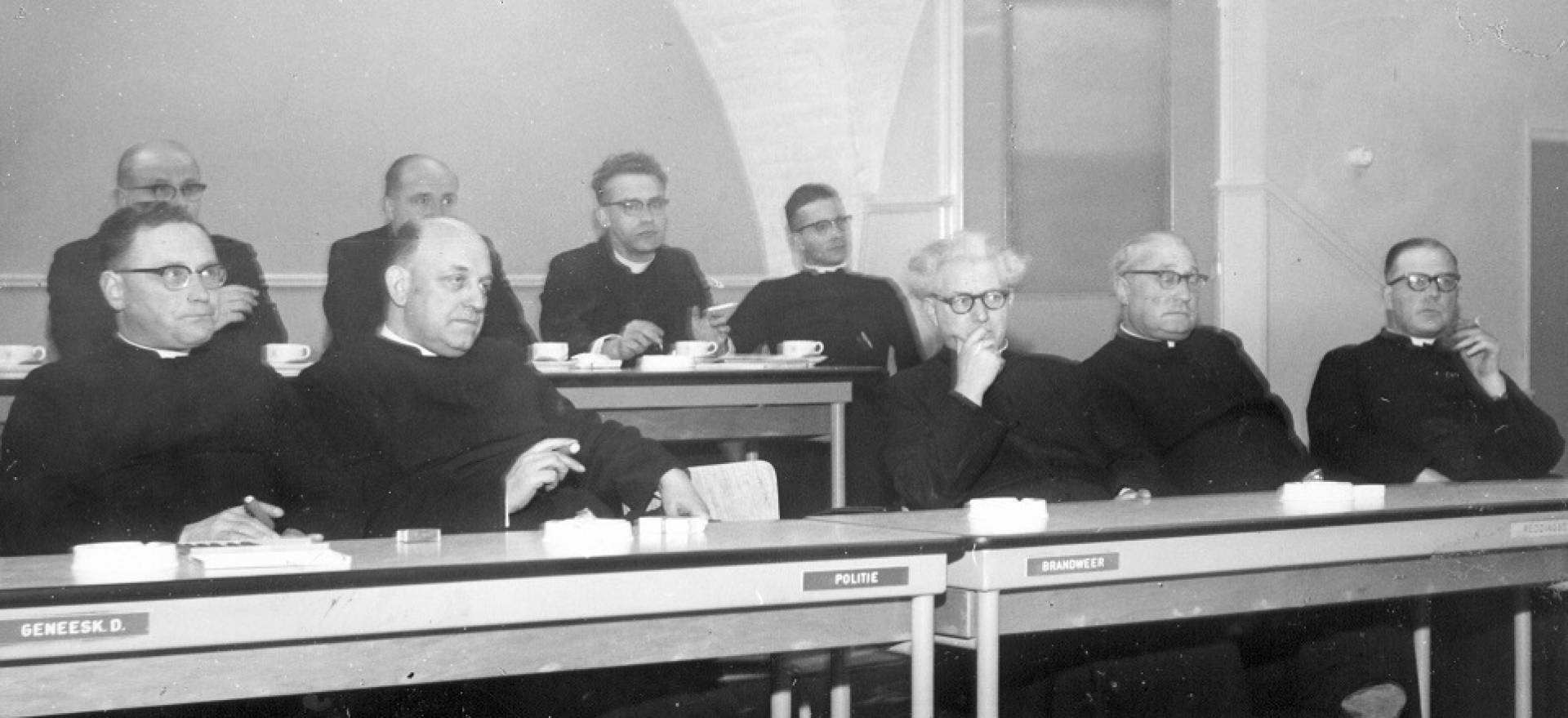
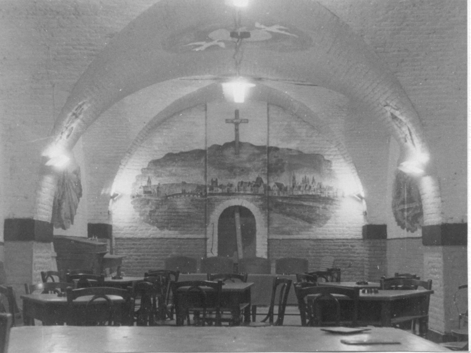
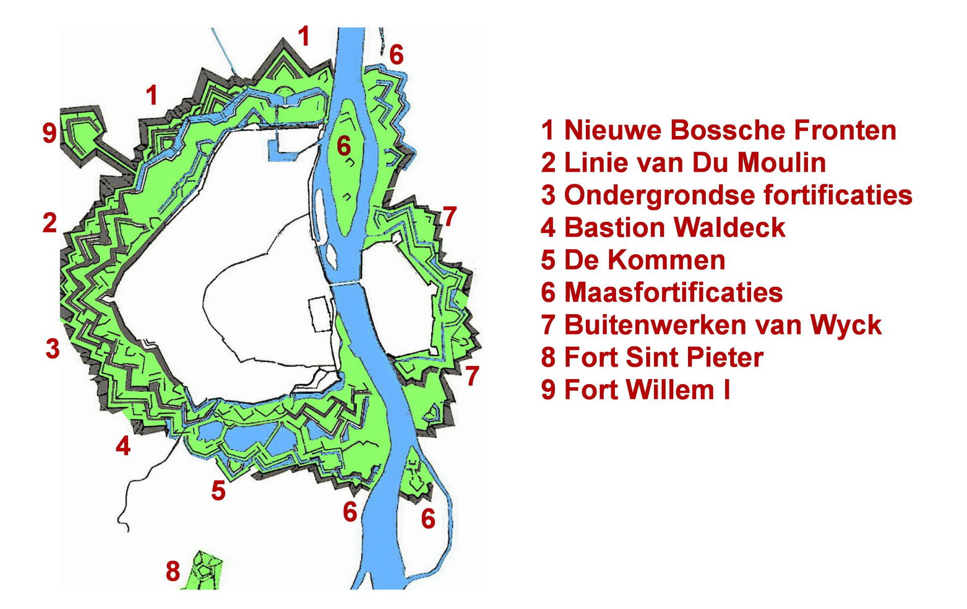
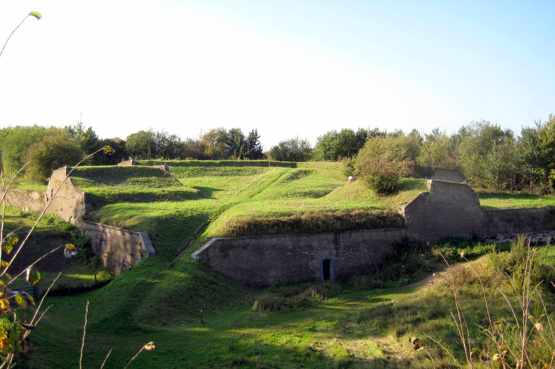
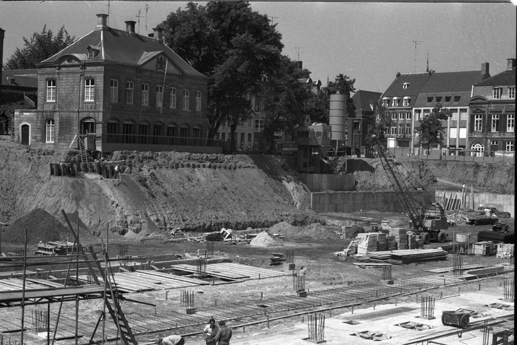
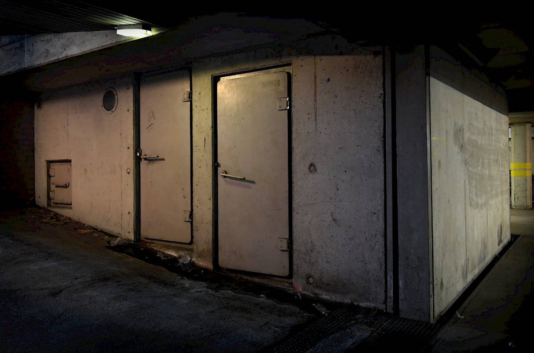
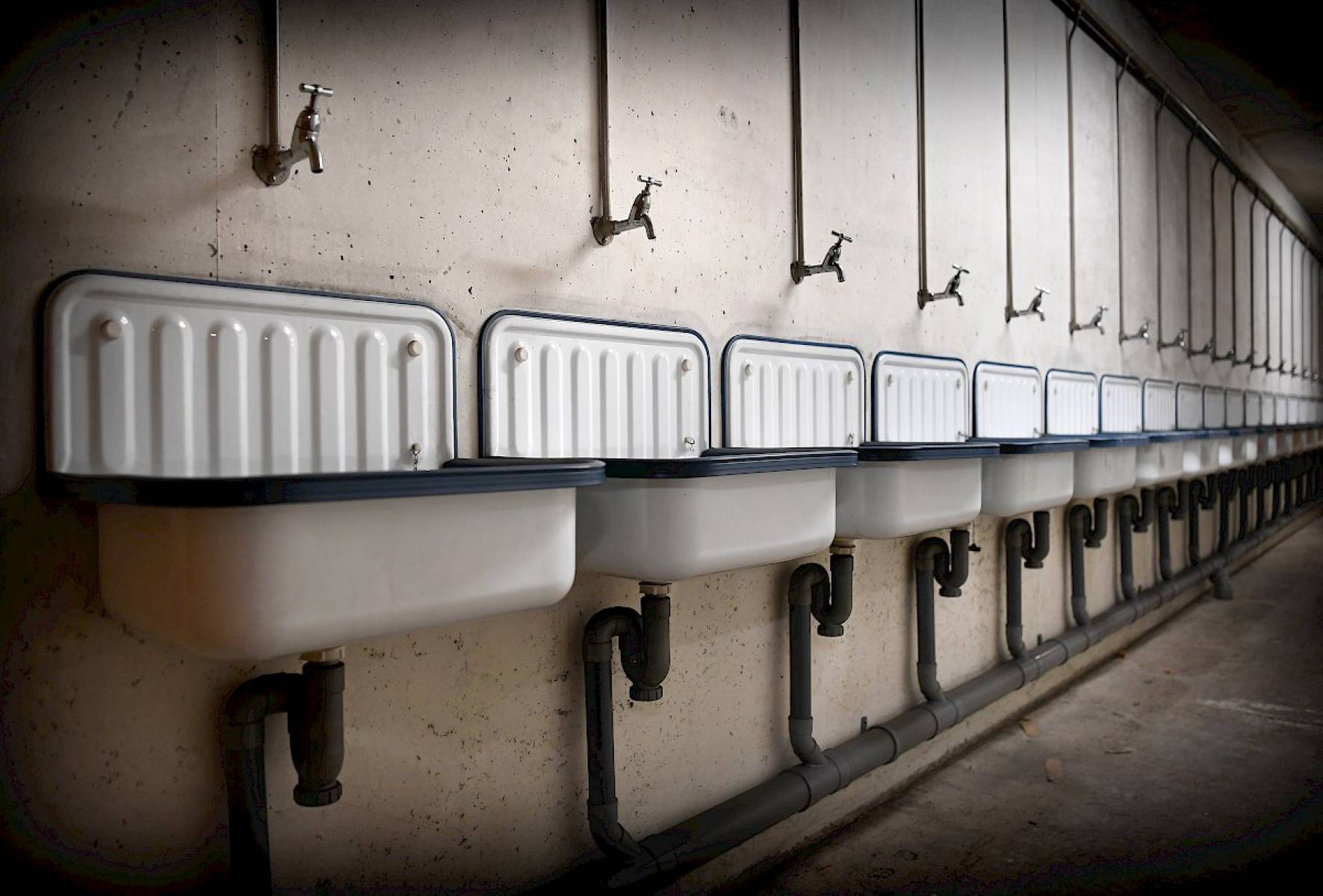
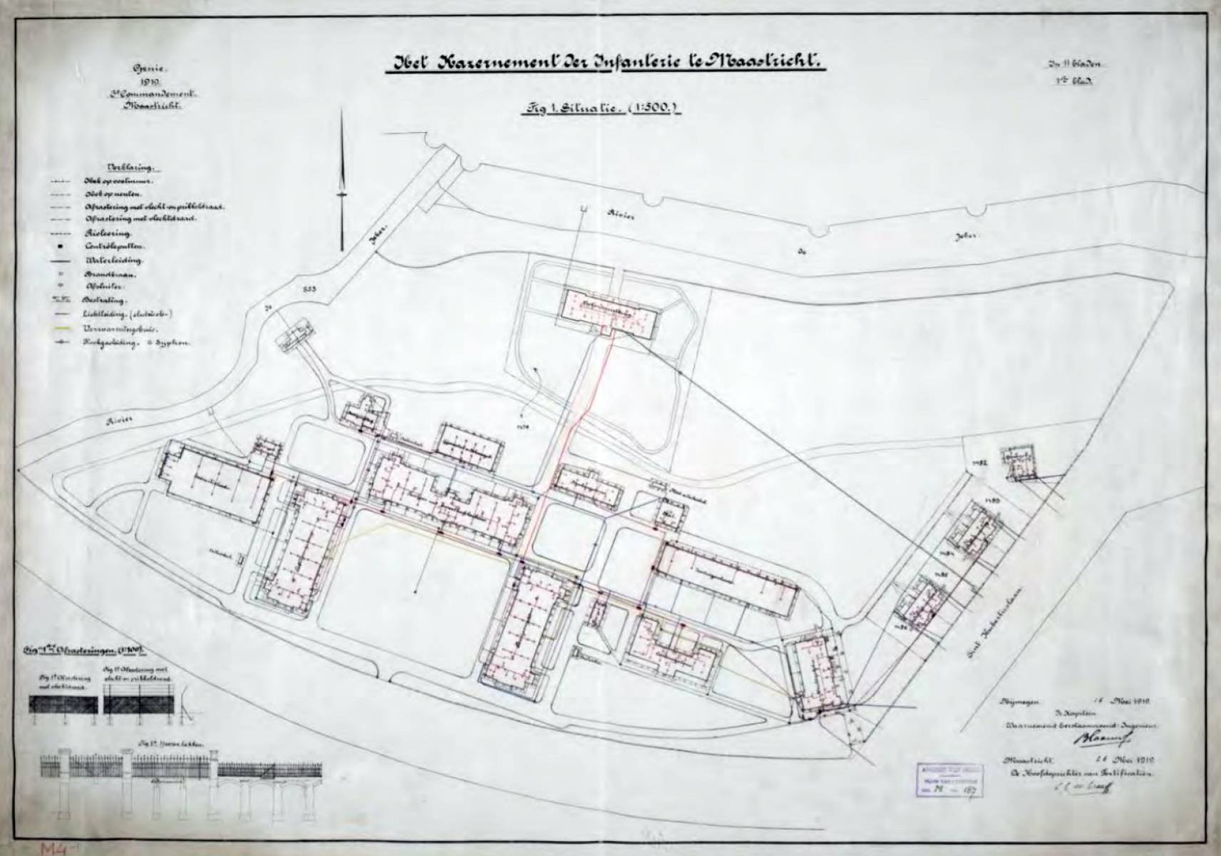
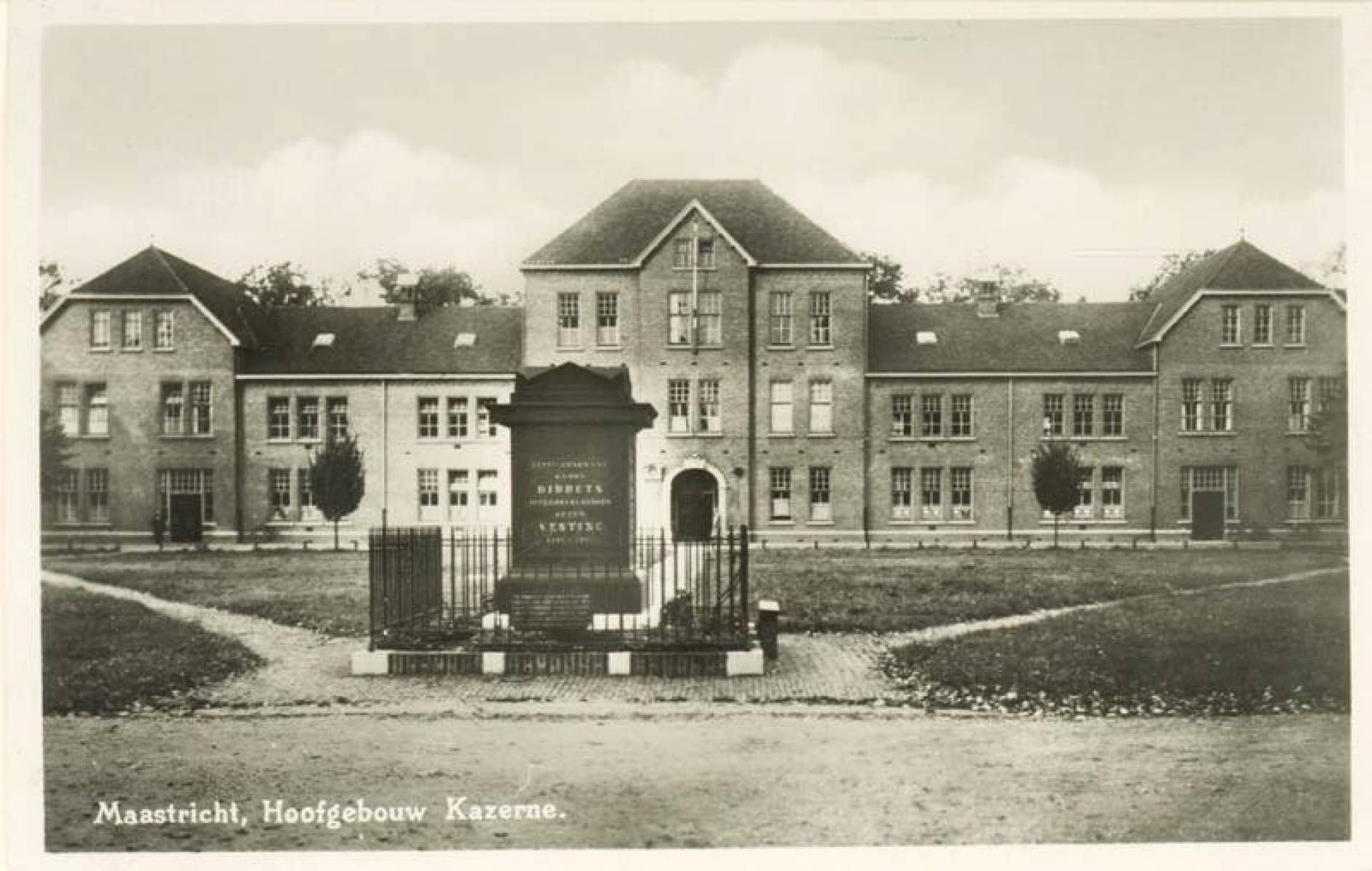
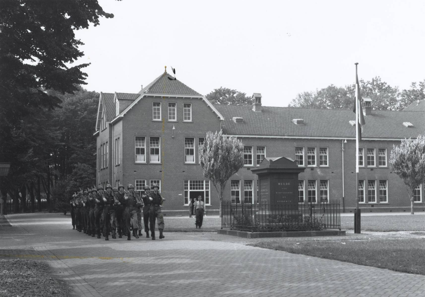
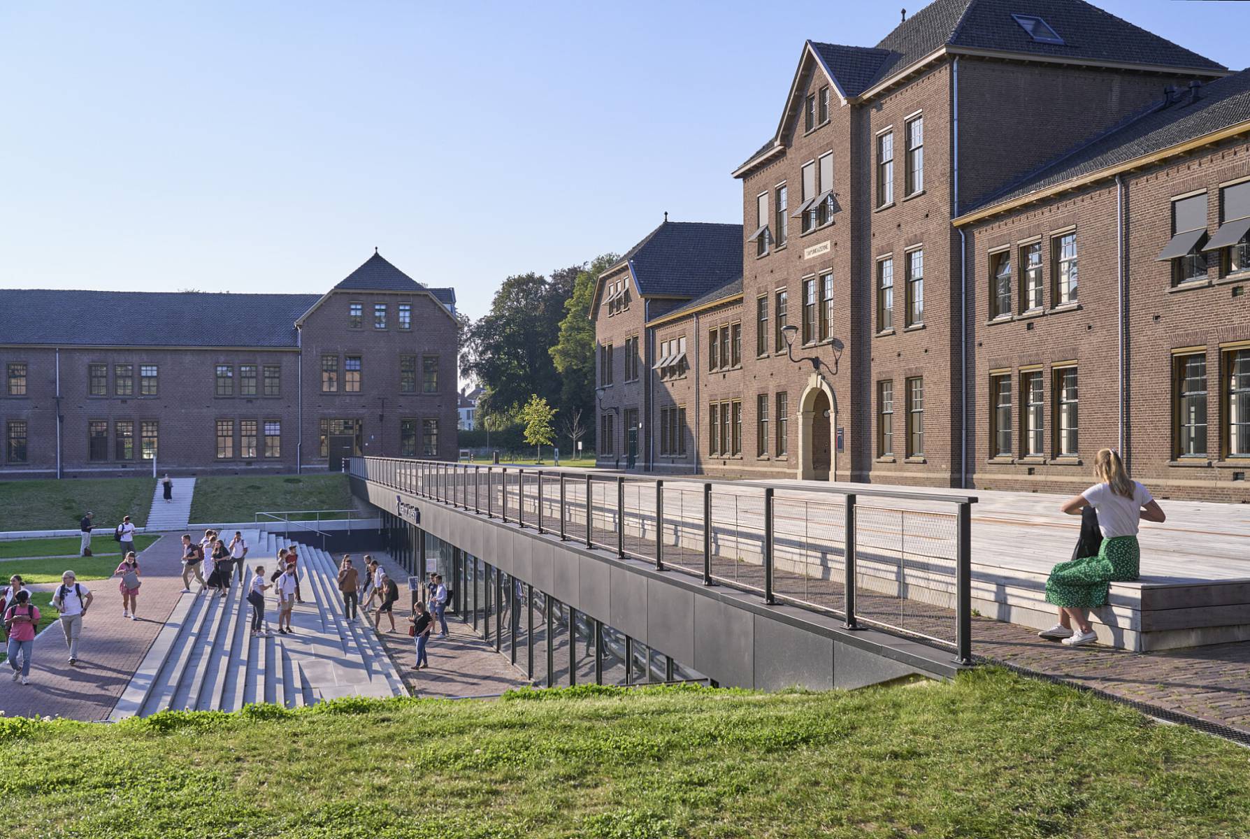
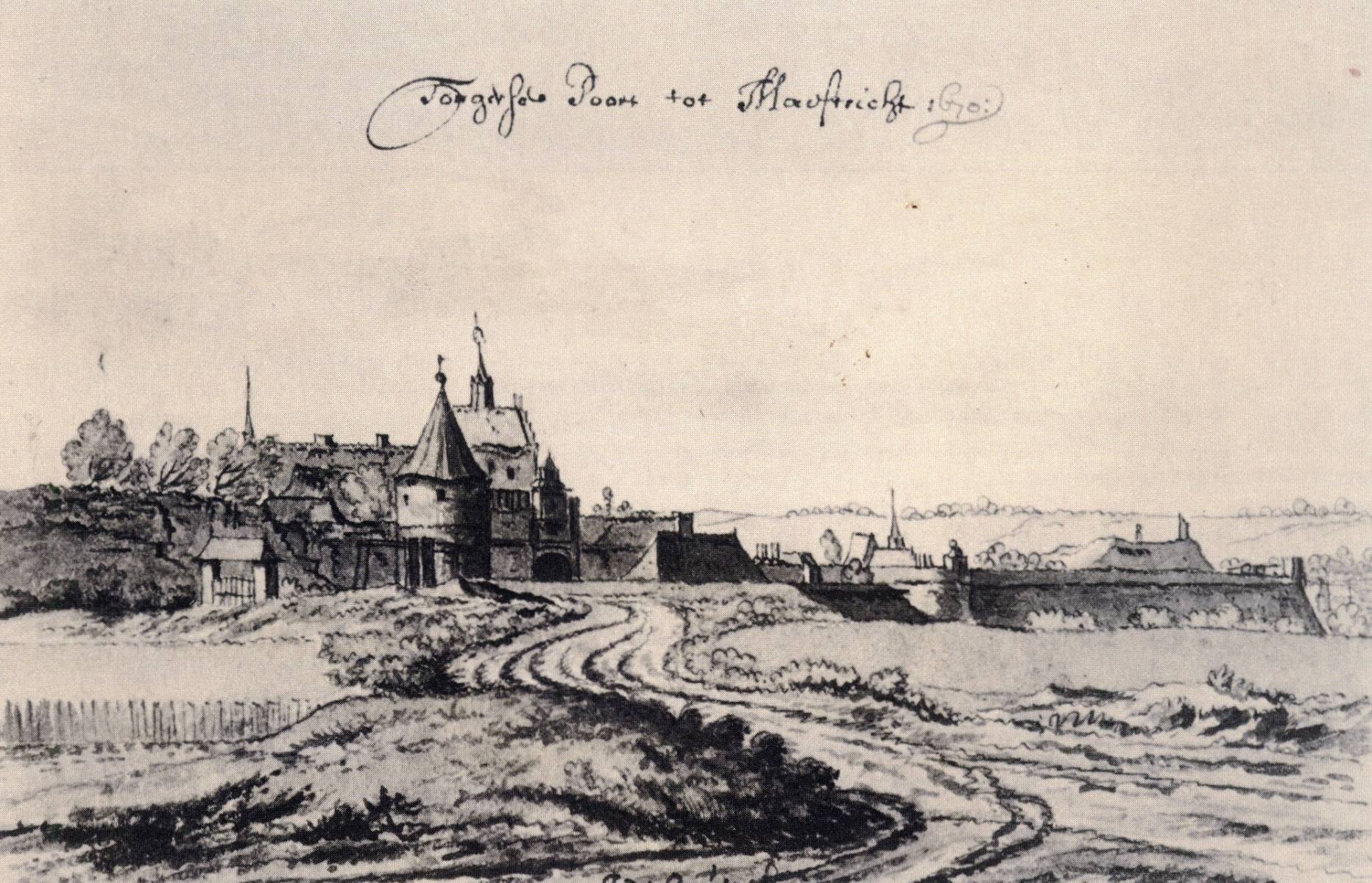
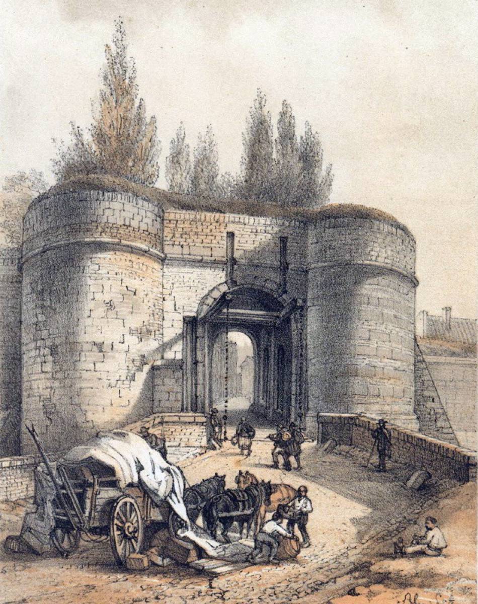
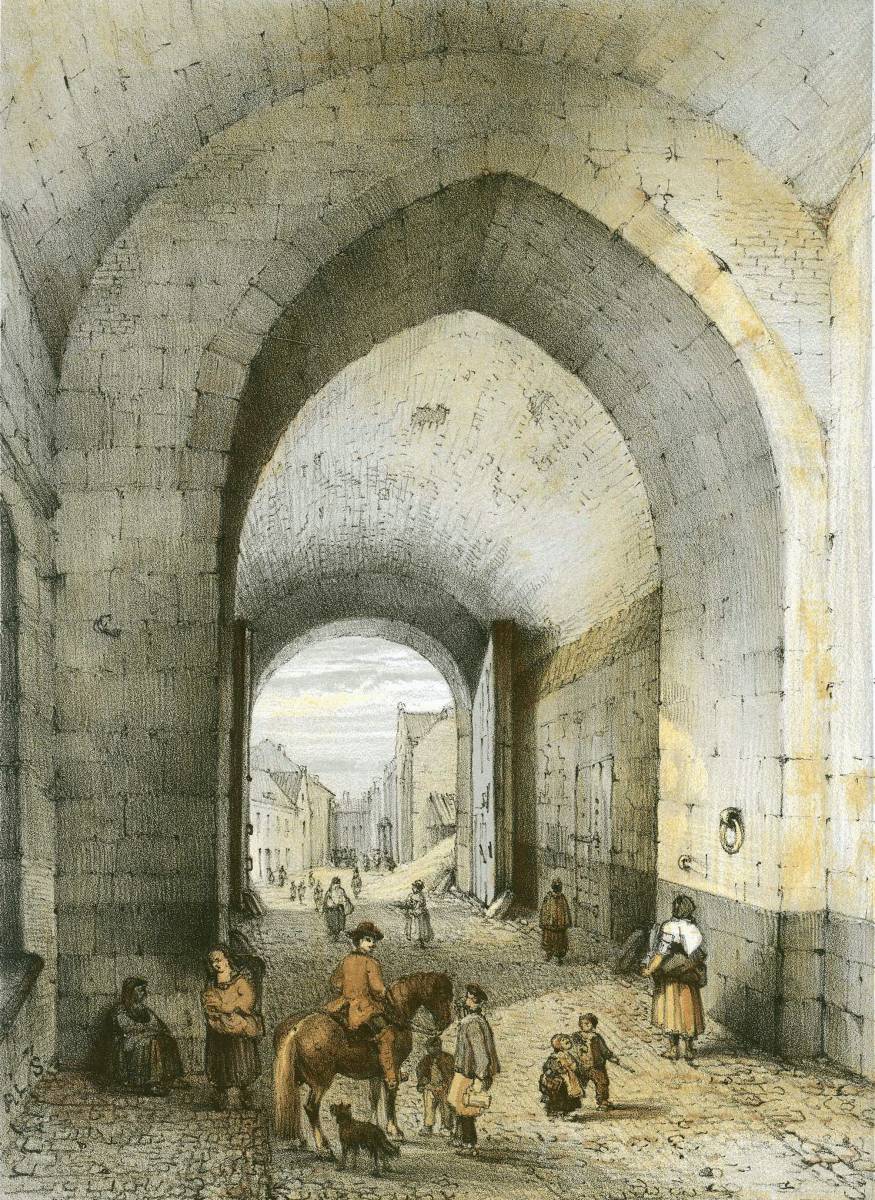
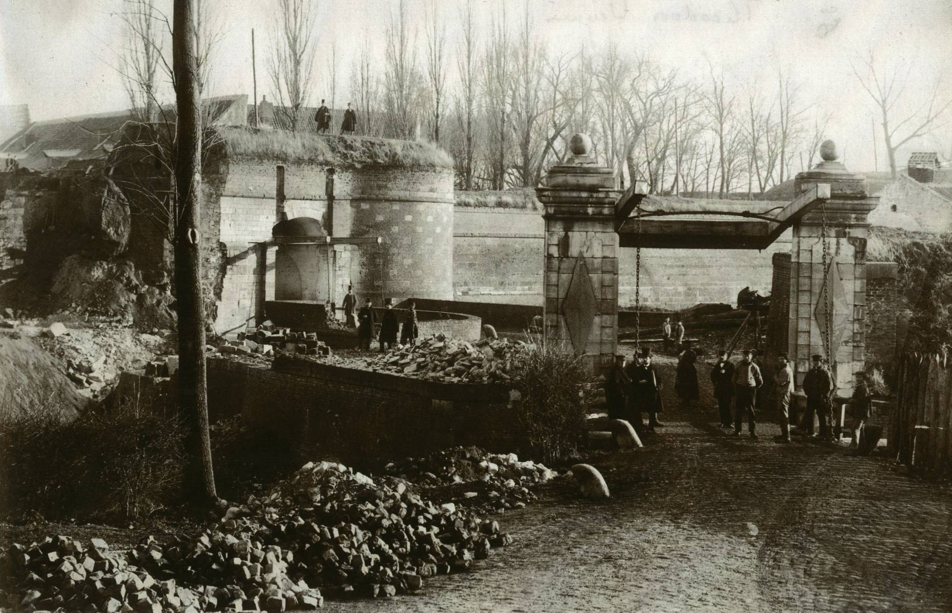
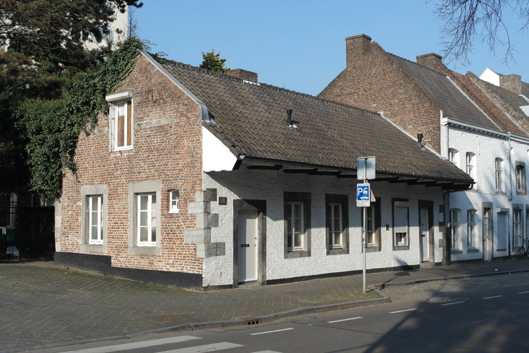
25 June till 14 August 2022

Maastricht has a history of concealing, hiding and refuge, from medieval city walls to the later fortifications. These structures have defined the cityscape for centuries. Some have only been open to the public for the past decade.

Air-raid shelters, bunkers, lookouts and tunnels remain hidden from us. During the Second World War, a robust underground infrastructure of shelters was established, both for people and world-famous works of art. During the threats of the Cold War, the Civil Defence (Bescherming Bevolking, or BB) made preparations in the city. After all, you never know when an emergency might come knocking.

Bureau Europa has published this walk as part of its Prepper Paradise exhibition.

Distance 5 km
Walking time 2 hours

Tip! You can also do the audio tour!

1. We start at Bureau Europa, platform for architecture and design. This is the Roman-style ‘Director’s villa’ (1905–11). It housed the Sphinx factory’s showroom. Underground tunnels connected it to the Bassin and the complex on the opposite side of Boschstraat. The tunnels made it easy to transport products from the factory to the inner harbour (and no smuggled-away worker’s children, as the urban legend goes!). Because the city’s fortifications restricted the emerging industry, an optimal connection to the Bassin was essential.

2. The landmark Eiffel building has graced the Sphinxkwartier’s skyline since 1929. Walk through the tiled passage and turn right around the corner at the end. You are at Eiffel South. You can see a special plaque above the cellar stairs through the window. 18 August 1944 would come to be known as Black Friday. No sooner had the air raid siren sounded when twelve American Flying Fortresses dropped two loads of bombs on Maastricht. Their target was the railway bridge, but they struck two residential areas: Rooddorp and Quartier Amélie. The heavy bombardment killed almost a hundred people, who were laid to rest in the Dominican Church. People took refuge in the Sphinx’s air-raid shelter as the battlefront drew ever closer. The glazed memorial plaque is by artist Charles Vos.

Black Friday in 1944: many people sought shelter in Maastricht, also underneath the Eiffel Building

3. Walk back to Boschstraat, under the Penintentenpoort, and turn right. Across the street on the corner with Achter de Barakken, imagine yourself in Parisian surroundings. The current Hotel Monastère was once called the Refuge of Hocht. For centuries, the Limburg countryside was a playground for enemy armies and bands of robbers. The rich abbeys, in particular, were eagerly looted. In times of unrest, its inhabitants hid behind the city walls in refuges: fortified stone shelters where they could also conceal their valuables. The Cistercian nuns of Hocht Abbey in Lanaken sheltered with their lucrative agricultural yields in the townhouse of their abbess on Boschstraat, ever since 1380. The building’s current French-style appearance is thanks to Sphinx founder Petrus Regout. He turned it into a chic residence for his bachelor sons. His wife Aldegonda sold the place in 1876 to the Sisters of the Poor Child Jesus from Simpelveld.

4. Walk down Achter de Baraken and Maagdendries to the crossroads. Opposite, in the extension of Maagdendries along Cabergerweg, is the Bastion A casemate. Further on is Fort Willem. Shortly after Napoleon escaped from Elba and the French mobilisation of 1815, the military governor hastily built a fortress on the poorly defended Caberg hill. Fifty years later, Maastricht was no longer a fortified city, and Fort Willem lost its function. The casemate housed the Civil Defence (BB) during the Cold War. Its fire, first aid and rescue services provided assistance for disaster relief and in times of conflict. The BB was also responsible for public information. The threat of a Third World War and potential use of nuclear weapons was real. But how do you prepare for such an eventuality? One response came in 1961 with the establishing of the Provincial Centre for Civil Defense (a nuclear bunker) at the fort. If necessary, the governor of Limburg could reside here.

Bescherming Bevolking had its headquarters in the casemate of Bastion A near Fort Willem.

5. Now, take a short walk through Frontenpark. Since 2019, the former fortifications of the Lage and Hoge Fronten have been reconnected by the dry moat. The Du Moulin Line, named after its designer, Carel Diederik du Moulin, is the best-preserved part of the eighteenth-century Hoge Fronten. These fortifications once ran along the city’s west side to the River Jeker, where only the Waldeck bastion now stands. Beneath your feet is a seven-kilometre underground network of mines linked by caponiers (covered galleries with shooting holes, called embrasures, to defend the dry moat). This made defending the various bastions (defences protruding from the walls) and lunettes (freestanding bastions) easier. The Fronten protected the city until 1867. Since 1993, the Du Moulin Line has become a protected habitat for the wall lizard.

The Du Moulin Line is part of the Fronten, which once covered the entire western side of garrison city Maastricht.

6. Once out of the park and back on Statensingel, cross over to Laagfrankrijk. Turn right at the intersection of Hoogfrankrijk and Herbenusstraat. On this spot was a sixteenth-century ‘kat’ called Hoog Frankrijk (High France). A kat, or cavalier, is a position for artillery on top of the fortifications. Since 1567, it was the garrison’s duty to maintain and defend them and the gun powder storerooms. Before this, that honour fell to the Kerspels, a Civil Defence organisation before the term existed, who ensured fire safety and public safety. Lawyer Victor de Stuers championed the preservation of the fortifications after 1867, when Maastricht lost its fortress status, and pushed for a national preservation order. However, the Hoog Frankrijk Kat had to make way for much-needed urban expansion. There are still the twentieth-century air-raid shelters and the underground Jeker Canal, which spans between Kommen and Lage Fronten since 1676.

7. Walk a little further down Herbenusstraat. Turn left opposite Kazemattenstraat and walk left past the building with turrets into a narrow alley called Cellebroedersstraat. It goes past the De Beyart site to the Cellebroeders chapel. This area between the first and second medieval city walls was sparsely populated for a long time. Here, lay brothers built the first Alexians (Cellebroeders) cloister (well, the first huts, cellae). Since 1539 these unconsecrated lay friars cared for outcasts, plague sufferers, people with mental retardation, and impoverished priests and citizens. In the French period, the monastic orders were abolished. However, the expulsion of undesirable elements to the monastery on the city’s outskirts continued. It was briefly a prison and was a home for the disabled until 1821. The sixteenth-century, late Gothic chapel and cloister, on the other hand, are hidden gems.

The Alexians' cloister was the refuge for the downtrodden, right between the first (yellow) and second (green) Medieval city walls. Once this was a desolate area.

8. You will arrive at Brusselsestraat. Turn left and bear left into Grote Gracht. On your left, at number 76, is a fortress-like Art Deco facade. This was the Joan of Arc College until 1978. This 1922 building by architects Marres and Sandhövel is notable for its expressionist brickwork and stained-glass windows and Alphons Boosten’s 1938 extension with limestone slabs. Hundreds of people sheltered in this school’s basement after the American bombing. The Red Cross set up a medical post and maternity room in the bicycle cellar where Dr Leith delivered seventeen babies in September 1944. One of whom received her diploma from the school in 1962. In the basement hangs a memorial relief by artist Charles Vos.

9. Walk down Grote Gracht to the Markt. The best view is in front of the town hall. If you look closely, you will see that the Markt has two sides: the ‘stone’ side on the south was located within the first medieval city wall, and the ‘green’ side to the north was outside it. You can extend the line from Grote Gracht into Kleine Gracht. Here was the Cloth Hall and the Prison Gate, where the archers would meet and the Anabaptists were imprisoned. Both buildings suffered damage during the Spanish Fury fighting on the Markt in 1576. It was not until 1659 that the fire-damaged Cloth Hall, together with the Prison Gate, was sold, demolished and reused for the foundations of Pieter Post’s new City Hall. After the city wall’s demolition, two smaller squares together formed one large square: the Markt. Whereas town bells used to signal the closing of the city gates and warn of fire, music has sounded from the City Hall carillon to indicate the time ever since 1670.

Did you know the Markt was once two squares, separated by a city wall? On the ruins of the cloth hall, the City Hall now stands.

10. One of Maastricht’s oldest streets runs between the FEBO and De Zwaan: Nieuwstraat. Walk down it and turn left into the Grote Staat. Ahead, you will see the towering Dinghuis. This old courthouse is situated at the intersection of Grote Staat, Kleine Staat, Muntstraat and Jodenstraat. The building’s appearance has changed considerably since the fifteenth century. It has always been a tall building though. The roof turret with an emergency bell was a lookout post. It was necessary in a city where the fire risk was high because of its predominantly half-timbered houses and thatched roofs. During the Second World War, the Air Defence Service used the turret again as an observation post. This time with a siren instead of a warning bell. A concrete floor was installed on the building’s first floor to bolster it against bombs. However, this addition later caused subsidence…

On top of Dinghuis, there was a lookout for the Air Raid Defence Service. Before that, the turret already used to be a lookout for big fires.

11. Walk back through Grote Staat to Vrijthof. Until 2002 you would have been standing on top of Maastricht’s largest air-raid shelter. In 1972 an underground car park was festively opened here. Maybe the festivities were meant to conceal that the lower parking deck had to accommodate 12,000 people in the event of an emergency. Many parking garages functioned as nuclear bunkers and always stored enough food, water, blankets and had their own power generators. The threat of ‘the bomb’ loomed large. With NATO in the Cannerberg, Russia had missiles aimed at Maastricht as a security measure. Who knows whether the city’s many air-raid shelters would have been sufficient?

Underneath Vrijthof there used to be an important nuclear bunker. Many underground parking garages that were built during the Cold War got that second function.

12. Now walk ahead to Vagevuur (Purgatory), the street between the Catholic and Protestant churches of Saint Servatius and Saint John. Turn left after the churches and continue up to the Law Faculty of the Univeristy. There, turn right into Bouillonstraat. At the end, turn right again and then immediately left into Ezelmarkt. Keep left and walk straight until the city wall. Enter the park through the little doorway. Ahead of you on the right is the Tapijn barracks (Tapijnkazerne). This former barracks has been a university campus since 2013, but until 2010 it housed NATO soldiers from Brunssum. Owing to the violent iconoclasm, Maastricht was given a permanent garrison in 1567. Although this officially became obsolete precisely three centuries later, Maastricht remained a garrison town until far into the twentieth century. In 1940 the troops stationed in the Tapijn barracks (1916–19 by architect Cornelis Blaauw) were tasked with slowing down the German advance by blowing up all Maas bridges. The barracks has underground trenches. Though they could not be used during the Second World War, as the German army eventually occupied the barracks, they could come in handy during the Cold War…

Today it's a university campus, but the Tapijnkazerne used to be a 20th century barracks for troups that were crucial for the defense of Maastricht during the Second World War.

13. Walk along through the park, past the Tapijn barracks, along the Jeker. Continue past the wall to its corner and then straight to the park’s edge where Tongersestraat and Tongerseweg merge. Until 1868 the Tongerse Gate (Tongersepoort) stood here. Strict protocols existed around the opening and closing of the city’s gates. As well as the sound of the clappers who hurried through the streets to announce all was quiet, or the cannons of the Main Guard on the Vrijthof that warned of danger, bells also rang out all over the city to mark the opening and closing of the gates. Maastricht would go into ‘lockdown’ every night. Across the road, you can see a long, low building with a protruding gable roof. This is the early eighteenth-century guardhouse with the wall safe that was used by firefighters. It is also called a commiezenhuis, after the customs officer, or ‘commies’, who was stationed at every city gate along with the military guard and kept a strict eye on what and who entered and left the city.

Where Tongersestraat and Tongerseweg now meet, there once was the Tongerse gate. There used to be strict protocols when it came to the Maastricht city gates.

14. From the commiezenhuis, you walk out of the old town. Cross the roundabout to Tongerseweg. On the left is the Waldeck Park, where you can still visit the bastion from 1690 and the casemates. At Café de Tramhalte, turn right into a residential area. Veer left into Minister Goeman Borgesiusplantsoen: stairs lead down to a former air-raid shelter now called the Museum Schuilen in Maastricht… The museum opens once a month. It has many photos and objects, to help experience a Second World War and Cold War air-raid shelter. Especially relevant in 2022 because tensions between Russia and the West are rising again. Should we set up shelters and bunkers in Limburg once more? In the 1960s, there was even a government grant to help you build an air-raid shelter under your new building. Today those cellars are no longer operational. If we’re lucky, we’ll never need them again.

We have now reached the end of the walk. If you want to know more about local hiding places, visit the NATO command centre in Cannerberg or the Art Bunker in Sint-Pietersberg. For more information, see schuileninmaastricht.com and maastricht-underground.nl.

Text Remco Beckers | Layout Dennis van Eikenhorst |Translation JLC Coburn | Thanks to Royal LGOG, Museum Schuilen in Maastricht…

Images Buro Sant & Co | Cellebroederskapel.nl | Centre Céramique | CharlesVos.nl | Jan van Tol | Kleon3 (Wikimedia) | LIAG Architecten | MaastrichtDigitaal.nl | Marcel van den Bergh | MestreechterSteerke.nl | Nijst, E. (1944). Ick Waeck | Regionaal Historisch Centrum Limburg | Ronald Tilleman | VestingMaastricht.nl | ZichtOpMaastricht.nl